Log in
All resources
Create a design
33,570 Free Images of 1683 Maps
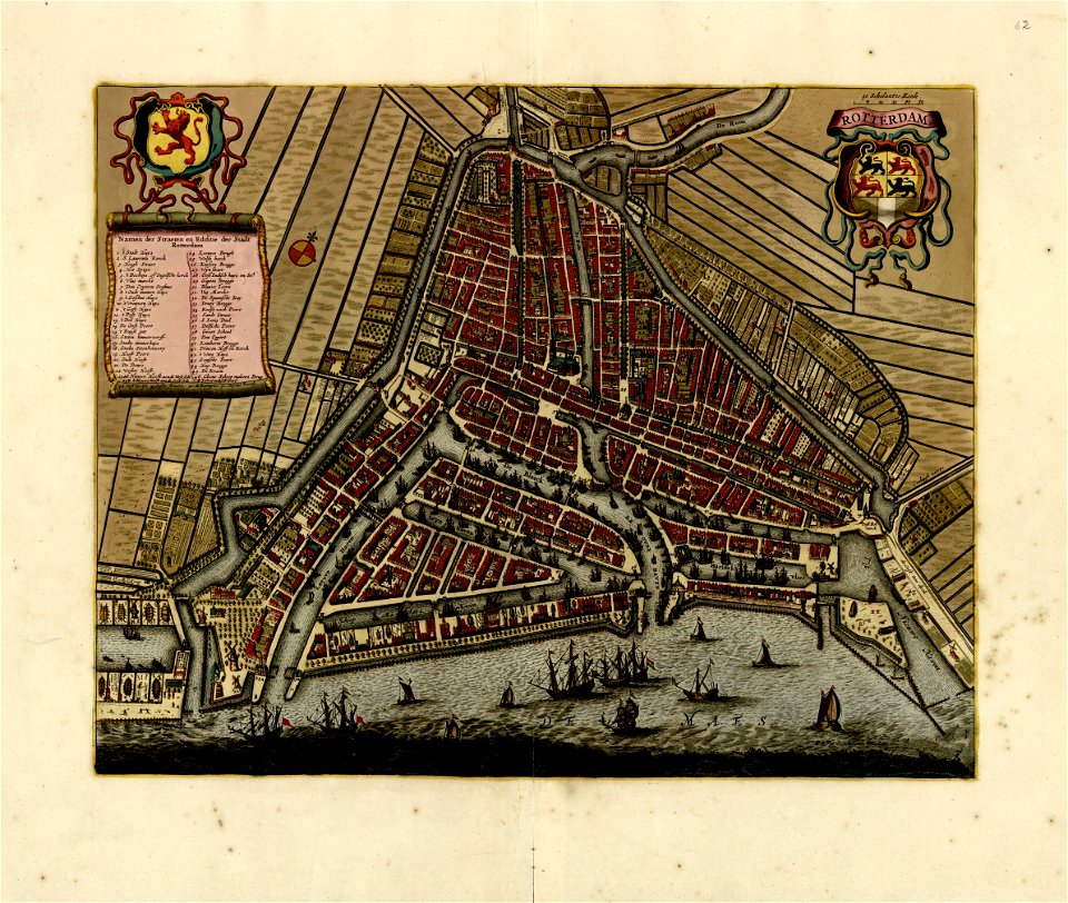
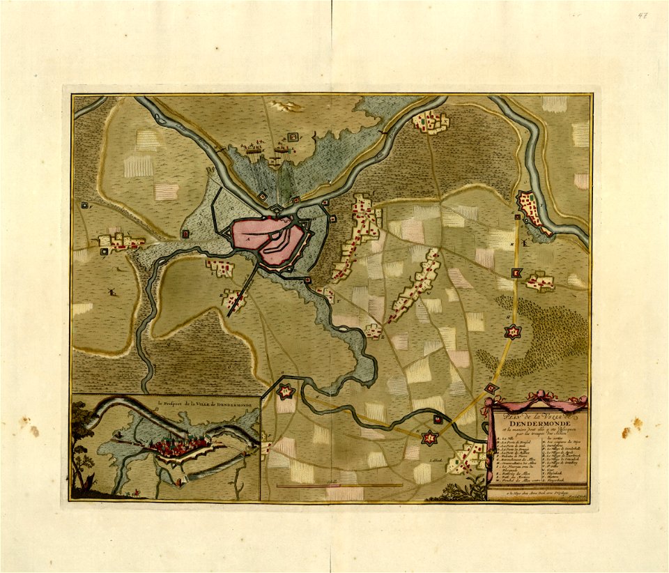
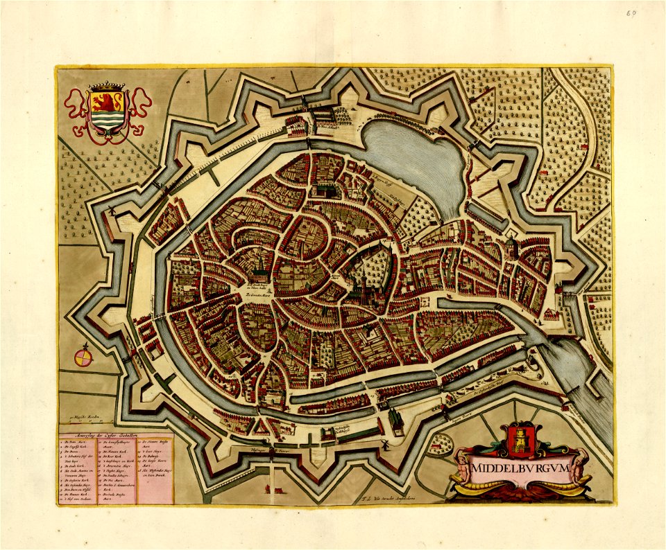
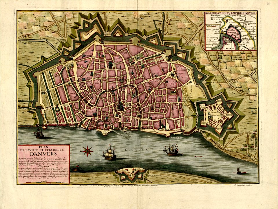
maps in the library of congress
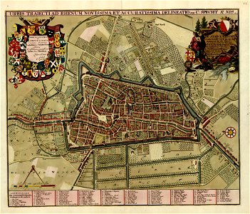
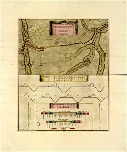
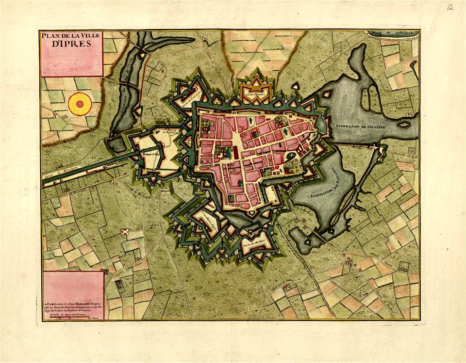
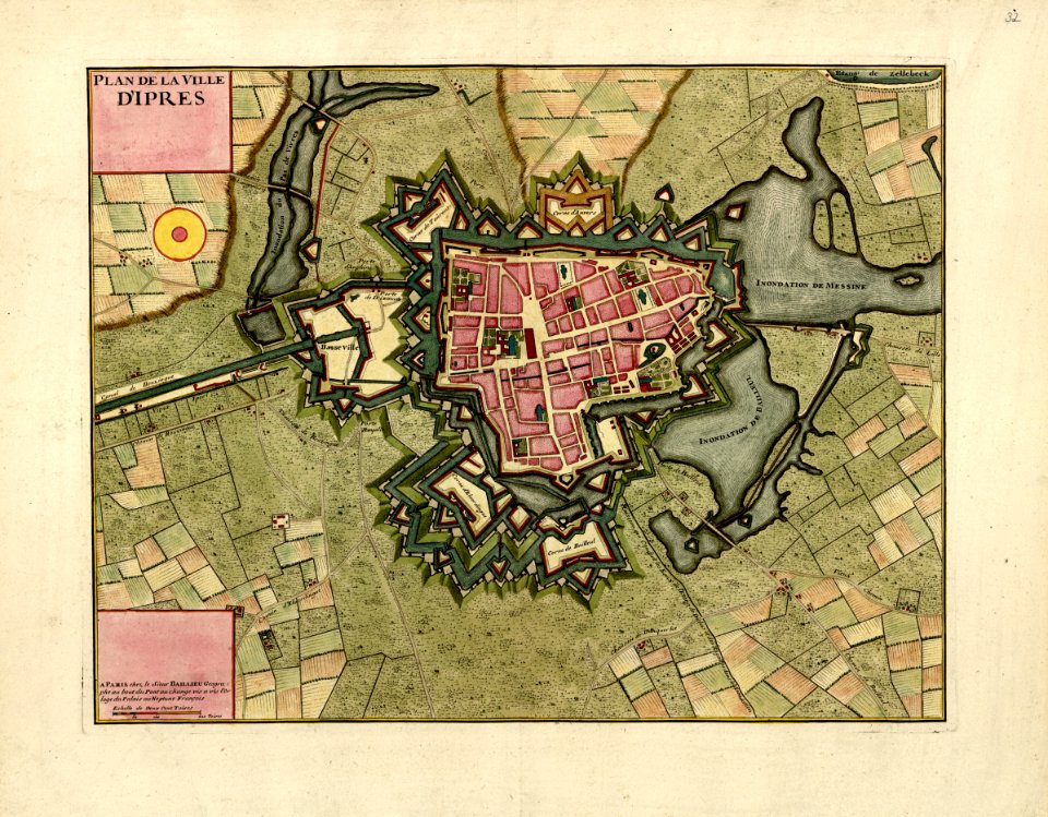
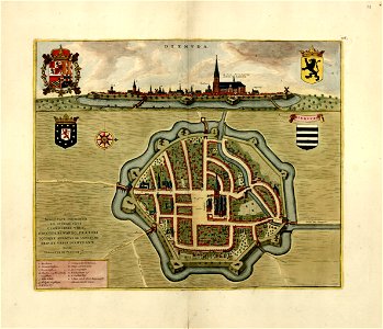
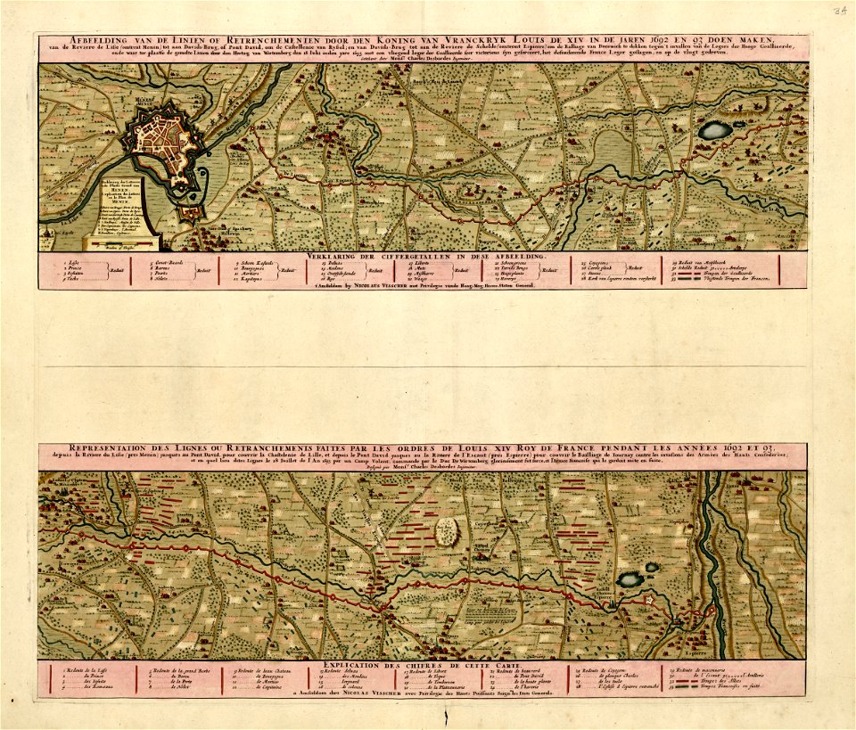
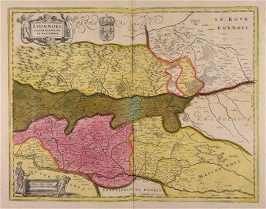
a collection of plans of fortifications and battles
1684-1709 - (europe)
maps made in the 17th century
cartography
engraving
chalcography
grabados
libros del siglo xvii
fondo antiguo
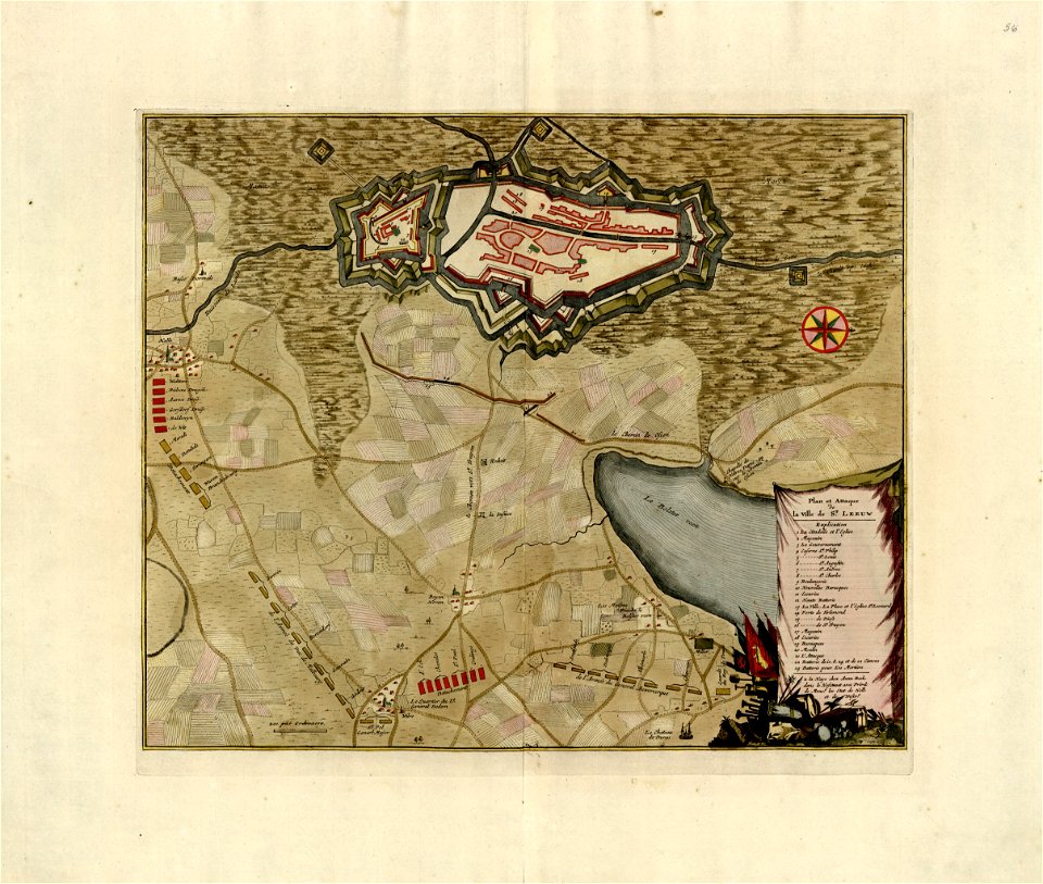
a collection of plans of fortifications and battles
maps in the library of congress
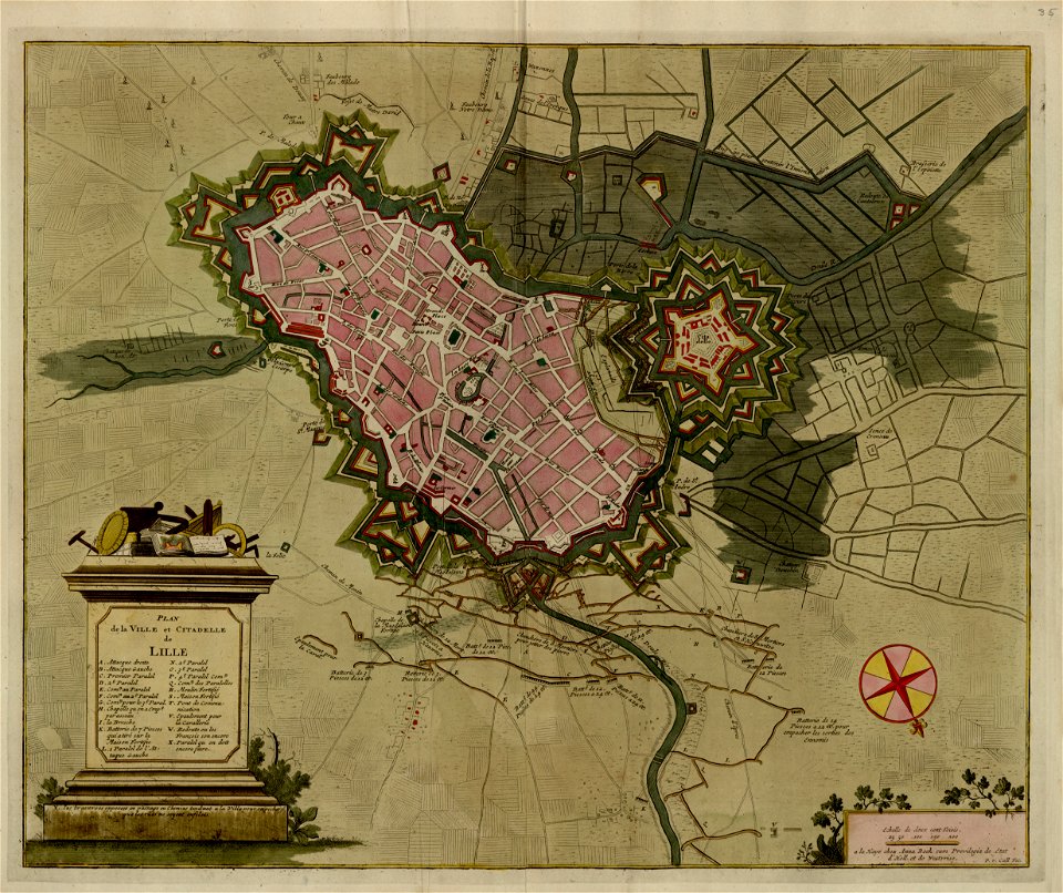
a collection of plans of fortifications and battles
maps in the library of congress
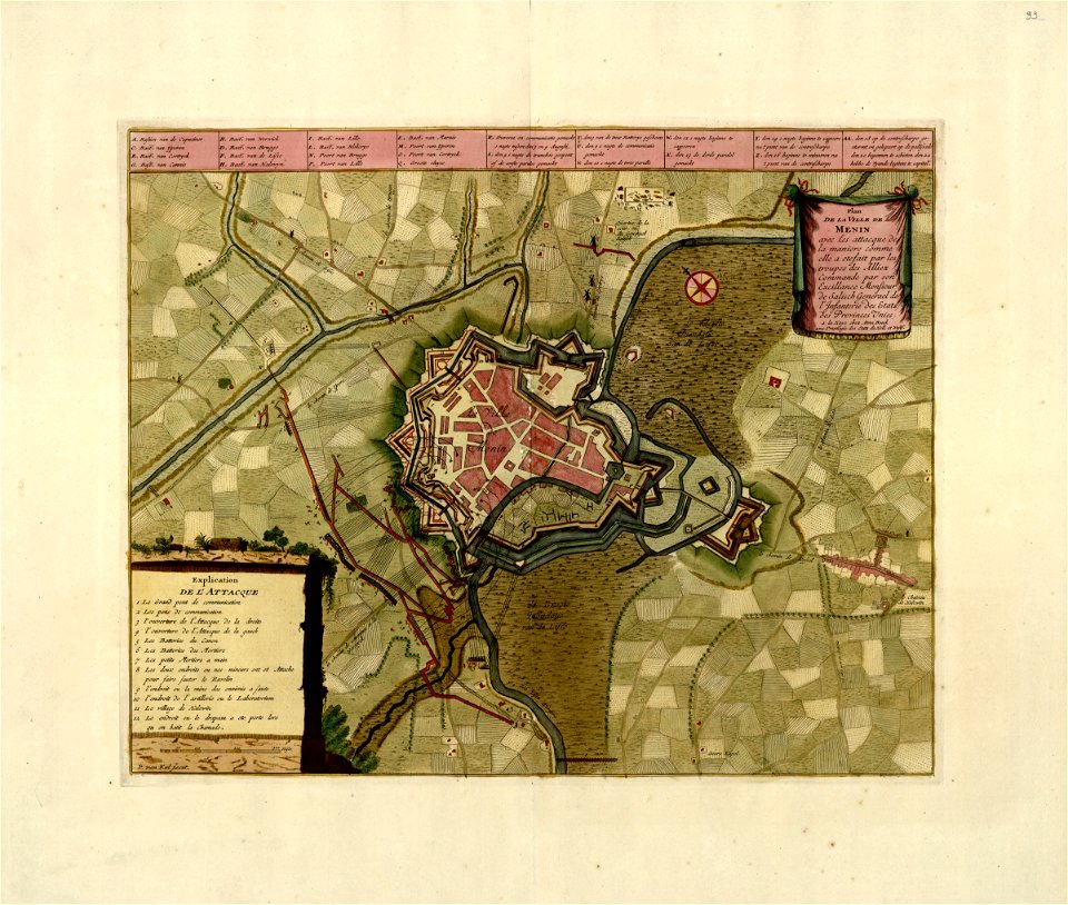
a collection of plans of fortifications and battles
maps in the library of congress
a collection of plans of fortifications and battles
maps in the library of congress
a collection of plans of fortifications and battles
maps in the library of congress
a collection of plans of fortifications and battles
maps in the library of congress
a collection of plans of fortifications and battles
maps in the library of congress
a collection of plans of fortifications and battles
maps in the library of congress
a collection of plans of fortifications and battles
maps in the library of congress
a collection of plans of fortifications and battles
maps in the library of congress
a collection of plans of fortifications and battles
maps in the library of congress
a collection of plans of fortifications and battles
maps in the library of congress
a collection of plans of fortifications and battles
maps in the library of congress
a collection of plans of fortifications and battles
maps in the library of congress
a collection of plans of fortifications and battles
maps in the library of congress
a collection of plans of fortifications and battles
maps in the library of congress
a collection of plans of fortifications and battles
maps in the library of congress
a collection of plans of fortifications and battles
maps in the library of congress
a collection of plans of fortifications and battles
maps in the library of congress
a collection of plans of fortifications and battles
maps in the library of congress
a collection of plans of fortifications and battles
maps in the library of congress
a collection of plans of fortifications and battles
maps in the library of congress
a collection of plans of fortifications and battles
maps in the library of congress
a collection of plans of fortifications and battles
maps in the library of congress
a collection of plans of fortifications and battles
maps in the library of congress
a collection of plans of fortifications and battles
maps in the library of congress
a collection of plans of fortifications and battles
maps in the library of congress
a collection of plans of fortifications and battles
maps in the library of congress
a collection of plans of fortifications and battles
maps in the library of congress
a collection of plans of fortifications and battles
maps in the library of congress
a collection of plans of fortifications and battles
maps in the library of congress
a collection of plans of fortifications and battles
maps in the library of congress
a collection of plans of fortifications and battles
maps in the library of congress
a collection of plans of fortifications and battles
maps in the library of congress
a collection of plans of fortifications and battles
maps in the library of congress
a collection of plans of fortifications and battles
maps in the library of congress
a collection of plans of fortifications and battles
maps in the library of congress
a collection of plans of fortifications and battles
maps in the library of congress
a collection of plans of fortifications and battles
maps in the library of congress
a collection of plans of fortifications and battles
maps in the library of congress
a collection of plans of fortifications and battles
maps in the library of congress
a collection of plans of fortifications and battles
maps in the library of congress
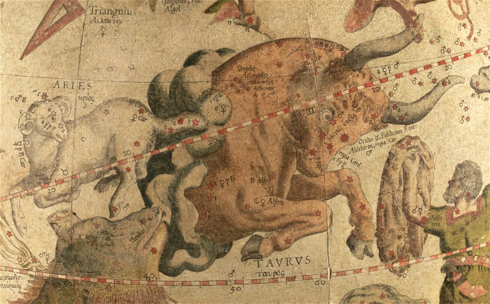
taurus (constellation) in art
triangulum (constellation)
portraits of sitting men
carmontelle
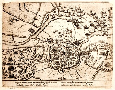
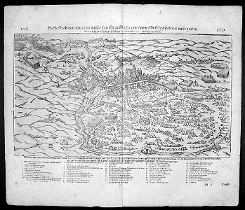
history of haarlem
siege of haarlem
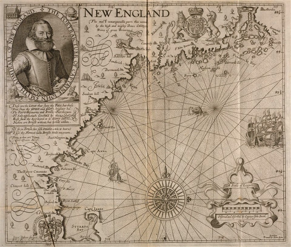
theatrum orbis terrarum (london 1606)
files from the bodleian libraries
maps made in the 17th century
jan janssonius
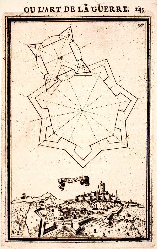
maps of fortifications in portugal
evoramonte
maps of fortifications in portugal
estremoz
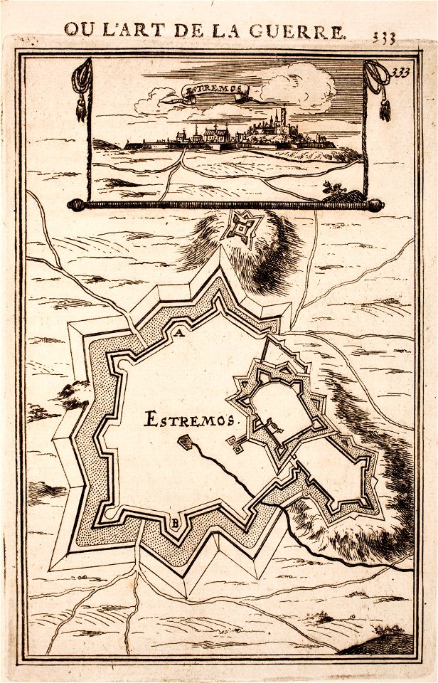
maps of fortifications in portugal
estremoz
topographical paintings in the amsterdam museum
paintings of amsterdam
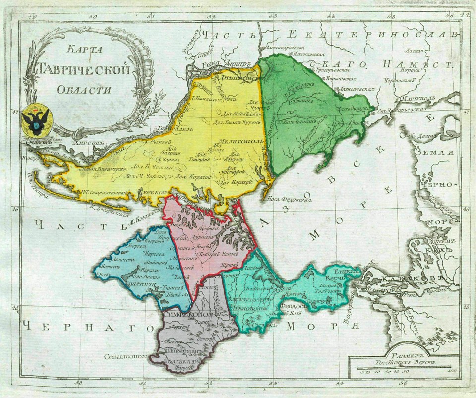
old maps of oblasts of the russian empire
small atlas of the russian empire (1792)
prints from the peace palace library
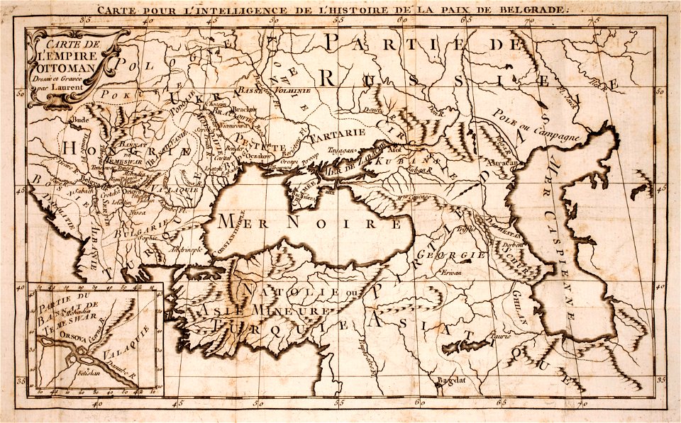
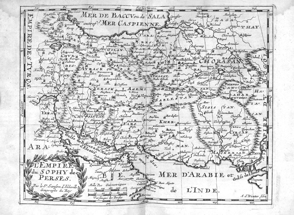
maps of the ottoman empire
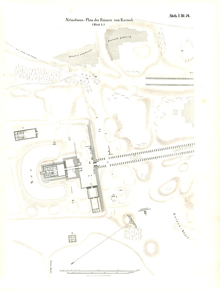
lepsius-projekt - maps
karnak precinct of mut
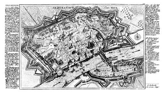
city walls of frankfurt am main
gabriel bodenehr
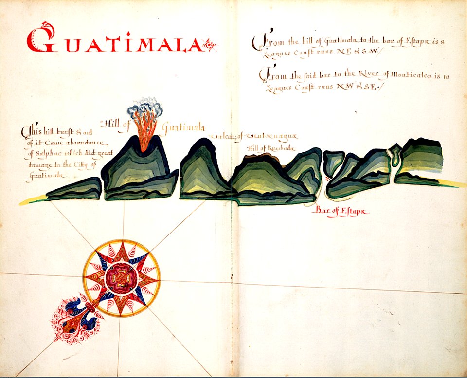
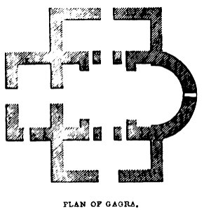
volcanoes in guatemala
old maps of guatemala
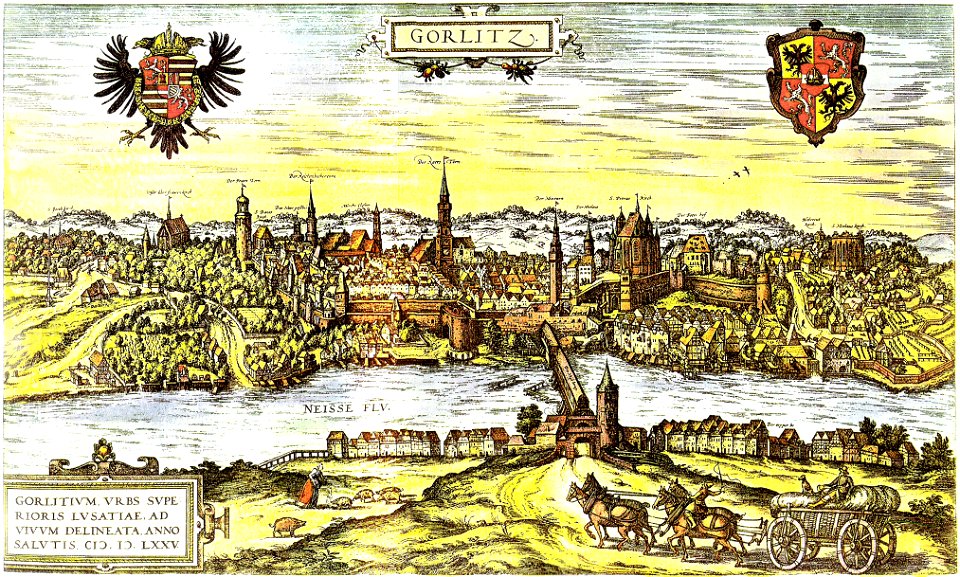
neisse in görlitz
görlitz
history of the french navy
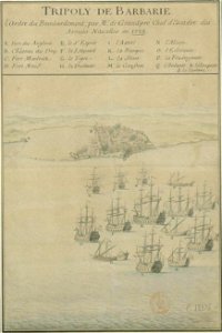
old maps of tripoli
theatrum orbis terrarum (london 1606)
files from the bodleian libraries
theatrum orbis terrarum (london 1606)
files from the bodleian libraries
maps made in the 17th century
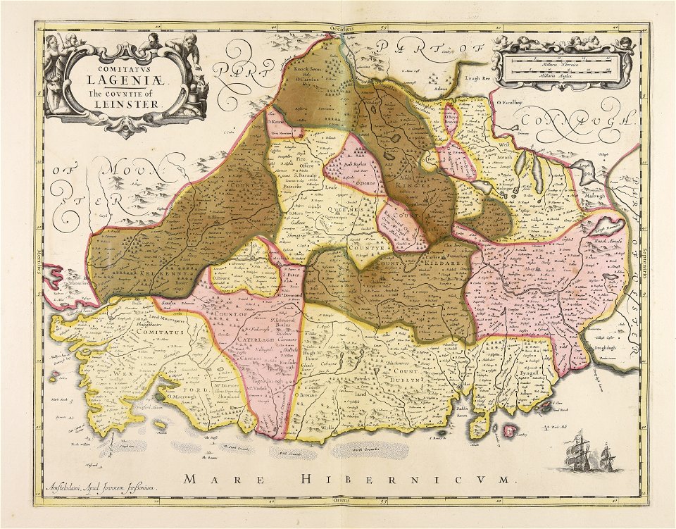
leinster
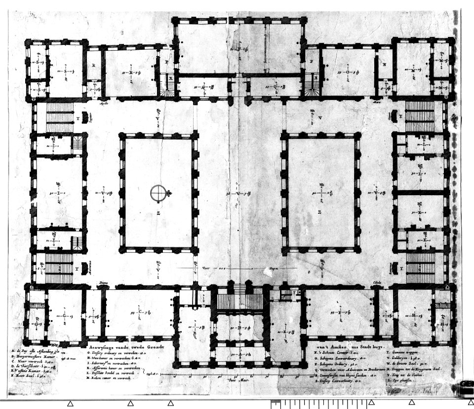
construction drawings in the stadsarchief amsterdam
the conspiracy of claudius civilis
maps made in the 17th century
giappone
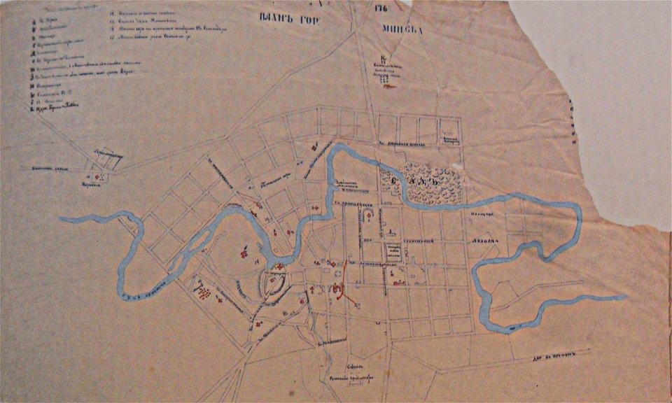
historical images of minsk
old maps of minsk
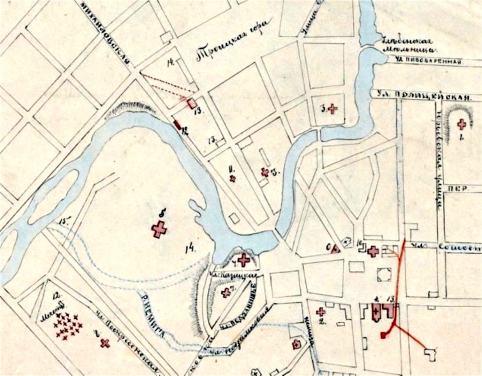
historical images of minsk
minsk in the 19th century
historical images of minsk
minsk in the 19th century
a history of the holy eastern church
georgia in the 19th century
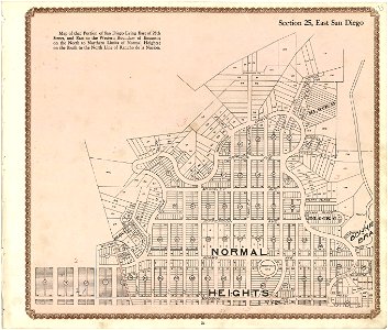
california
san diego
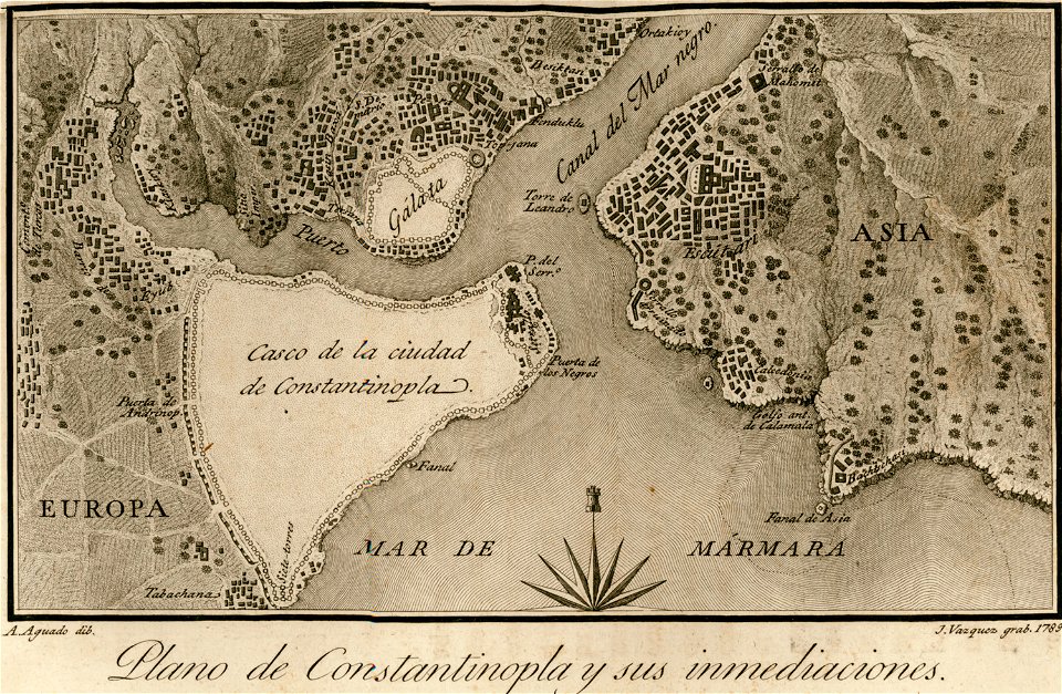
old maps of constantinople
viage á constantinopla
media in the houghton library
harvard university
prints from hugo de groot grollæ obsidio at the peace palace library
1620s maps of the netherlands
maps made in the 17th century
ulster
engravings of topographia saxoniae inferioris
güstrow in the 17th century
images from bristol past and present (1882)
clifton (bristol ward)
enzyklopädie des eisenbahnwesens
1912 in russia
illustrations of cosmographia (münster)
battles in art
l'illustration
1865,
maps made in the 17th century
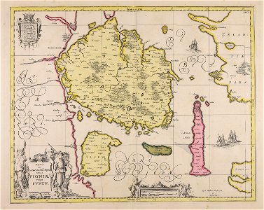
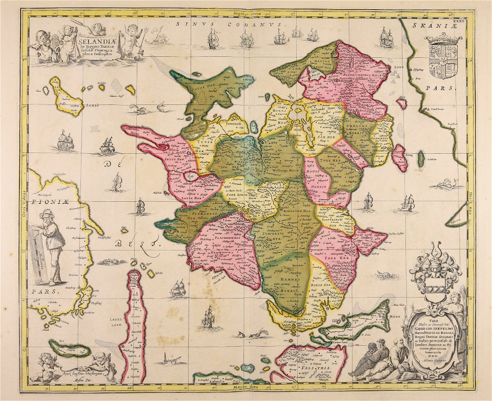
funen
atlantis magni tomus secundus (biblioteca comunale di trento)
maps made in the 17th century
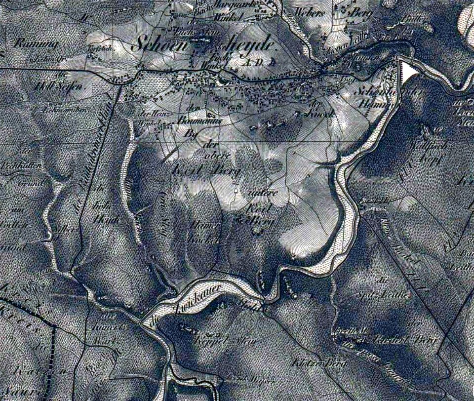
section schwarzenberg (1843)
oberreit
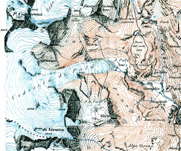
old maps of switzerland
piz varuna
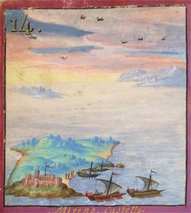
historical images of the cyclades
maps of mykonos
maps made in the 17th century
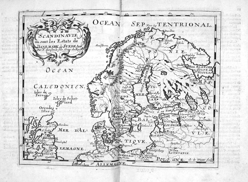
finlandia
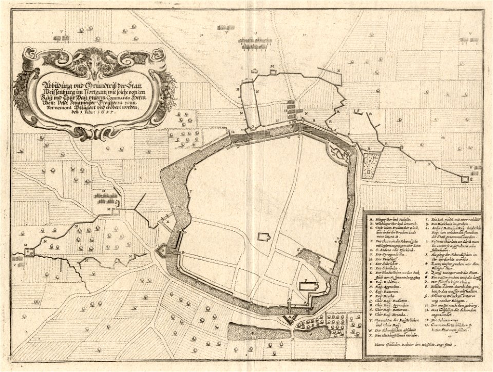
maps of landkreis weißenburg-gunzenhausen
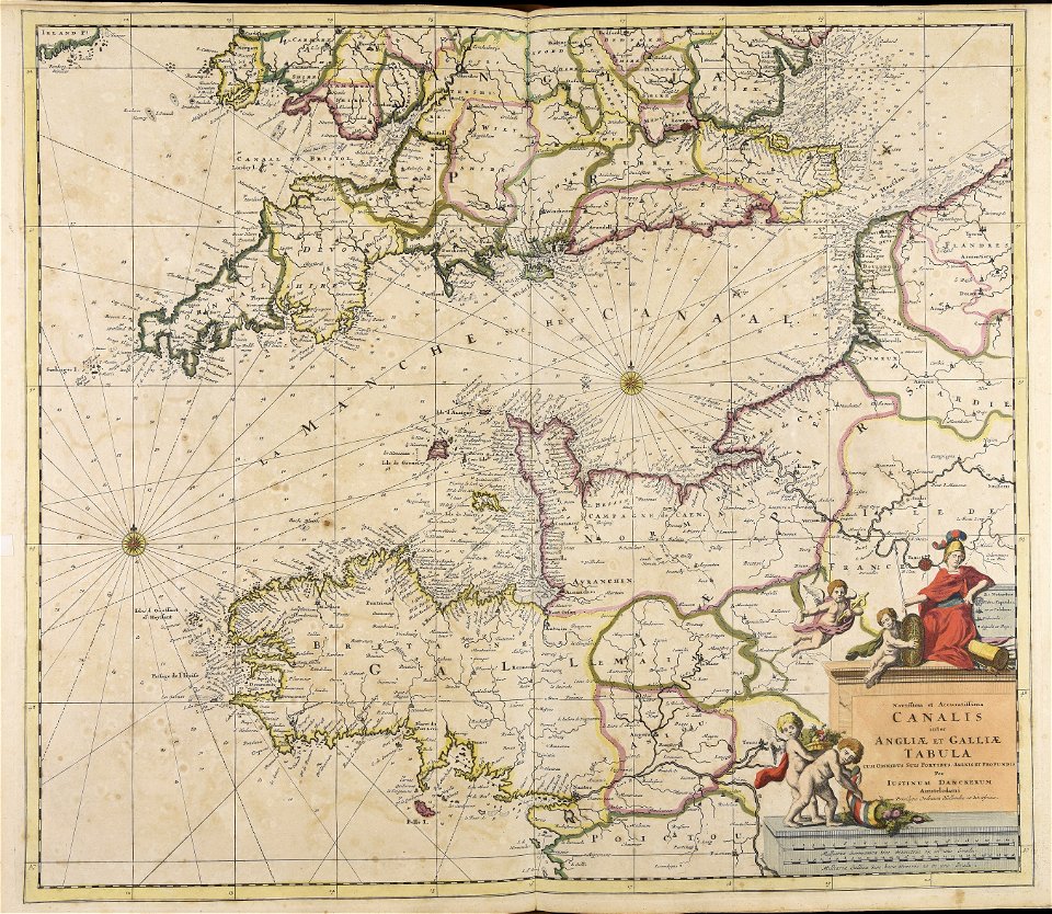
engravings of theatrum europaeum
claes jansz. visscher (ii)
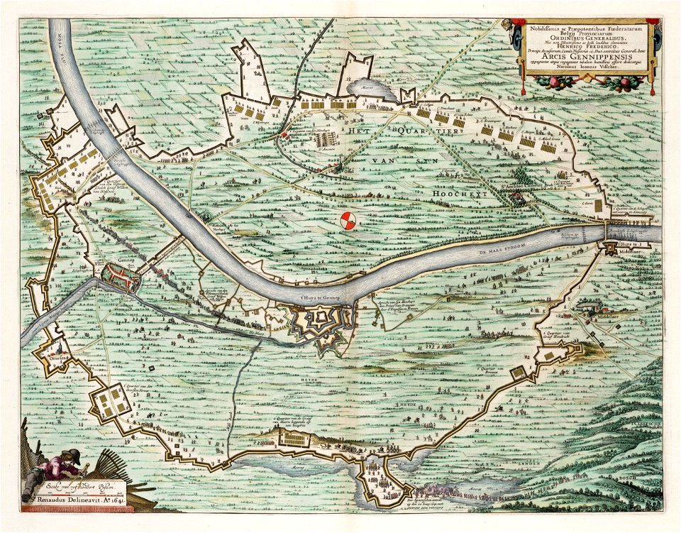
circumvallation
atlantis magni tomus primus (biblioteca comunale di trento)
maps made in the 17th century
maps made in the 17th century
stormarn
gerard valck
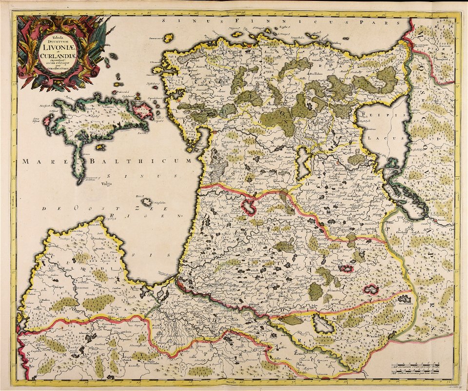
livonia
atlantis magni tomus primus (biblioteca comunale di trento)
maps made in the 17th century
henry william bunbury
printing
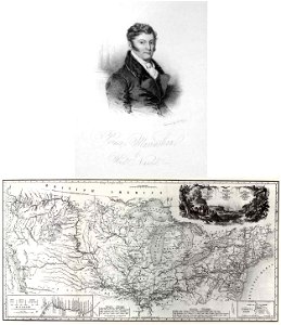
travels in the interior of north america
during the years 1832–1834
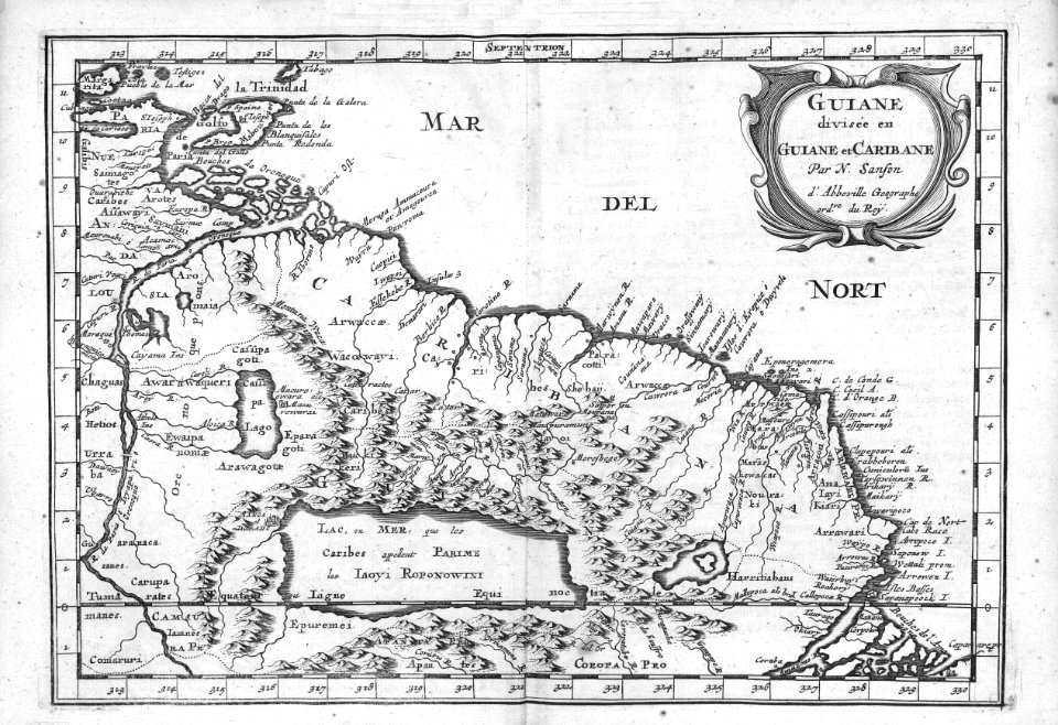
maps made in the 17th century
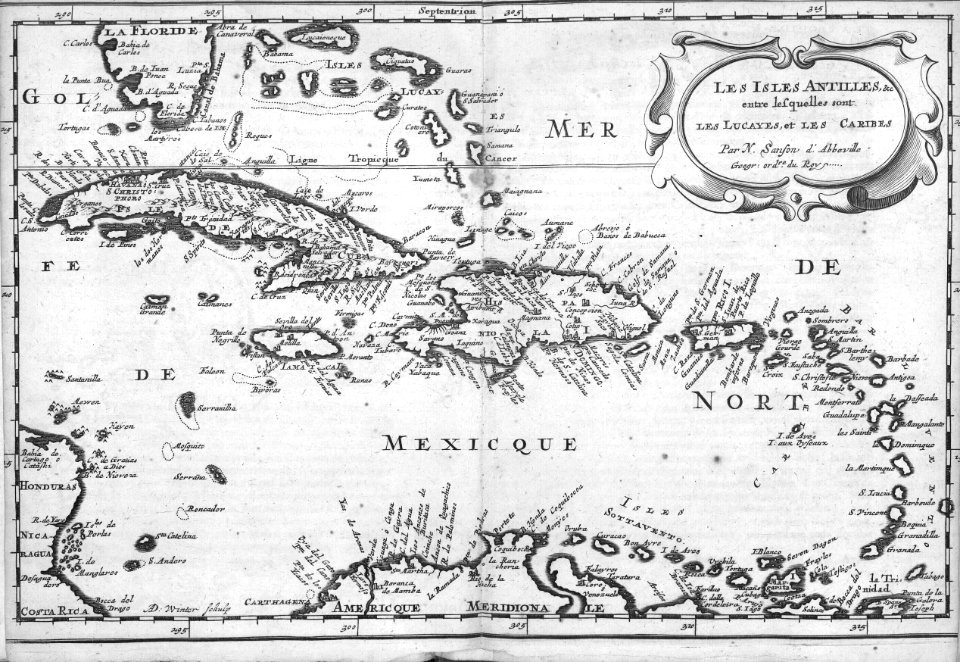
guiana
images from metropolitan museum of art (paris project)
jardin des plantes
cartography
maps
cartography
maps
cartography
maps
cartography
maps
cartography
maps
mexico
maps
cartography
maps
9301 - 9400 of 33,570
Next page
/ 336